Stage 3. Guillena – Castiblanco de los Arroyos
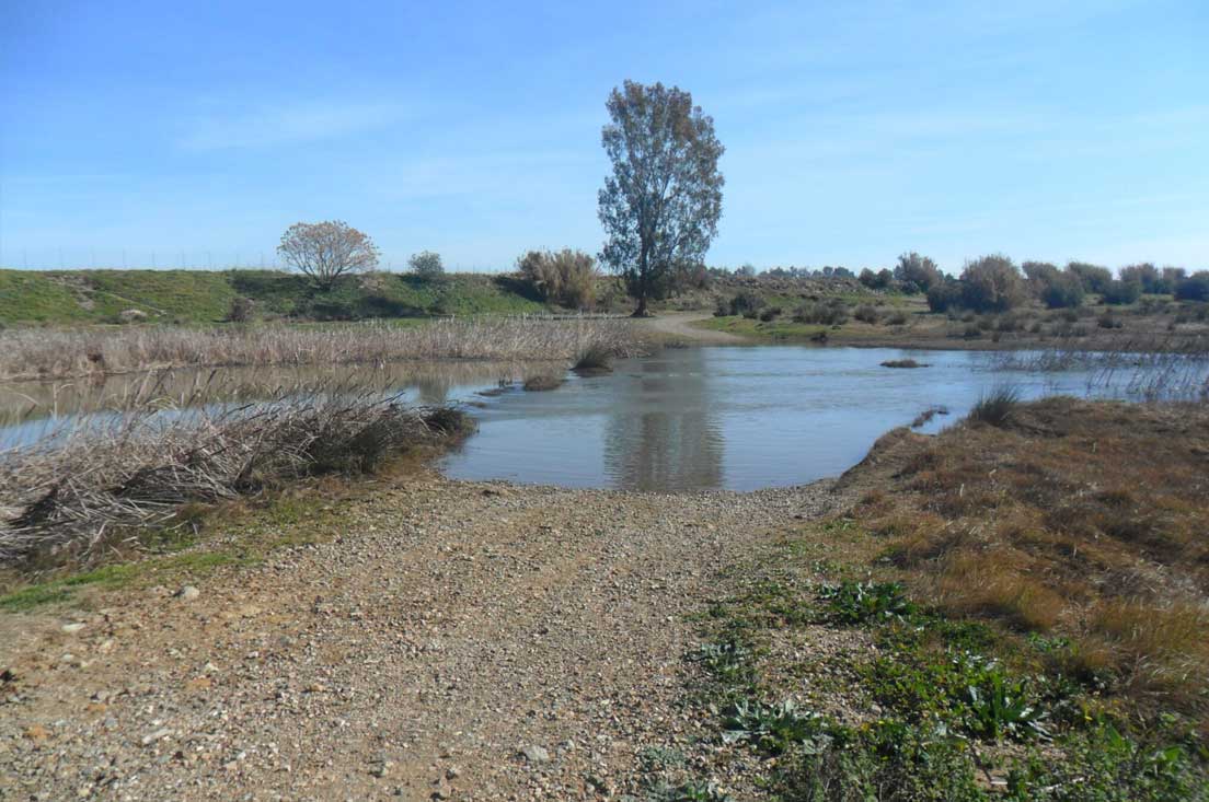
With its 15th-century parish church of Mudejar origin in sight, we say goodbye to Guillena. We head towards the Rivera de Huelva River, crossing at a spot which is fordable most of the year, and then continue on to the Roman milestone and the industrial park. If the river is too high, we can opt to cross over the Burguillos road bridge and then immediately get back on the path.
We trek on towards the Cañada Real de las Islas Livestock Route (from Guillena to Castilblanco). Known as the “meat path”, this transhumance trail between Doñana and the Sierra Norte de Sevilla runs mainly through the Riopudio Valley, as does the Via de la Plata Route we are walking along.
Enclosed on both sides by wire fences, the trail runs through crop fields, mainly cereals, and olive and orange groves. It had been little traveled since the middle of the 20th century, but is now showing signs of renewed activity.
The silence of the road allows us to enjoy a landscape of native vegetation, pastureland with holm oak, cork oak, wild olive trees and scrubland, now somewhat degraded. We reach the road that connects Burguillos with Castilblanco, cautiously crossing it to continue along the path that runs parallel on the right, heading towards Castilblanco, which welcomes us with a monument dedicated to Cervantes, who used this town as the setting for “The Two Maidens”, one of his “Exemplary Novels”.

As Castilblanco is located at the entrance to the Sierra Norte de Sevilla Natural Park, much of its economy is based on livestock raising, beekeeping and farming in the pastureland. This stage ushers in the setting for the next stages: a green, wooded Andalusia, quite different from the cliché of parched landscape.
